
Can Drone Mapping Replace Traditional Site Surveys?
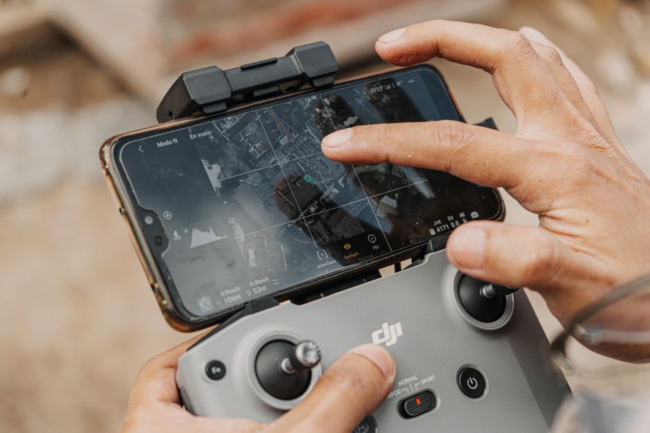
Drone mapping can replace parts of a traditional site-survey workflow for visual roof reviews, construction documentation, and some topographic or agricultural mapping, but it cannot automatically replace a licensed boundary or legal survey. The right choice depends on the accuracy required, vegetation, capture plan, and whether the final map establishes property rights or makes a certified accuracy statement.
That distinction sounds fussy until a map is used to make a payment decision, document a construction milestone, or settle a line on the ground. A sharp aerial image is useful evidence. It is not, by itself, proof that the measured position is right.
Can a drone map replace a land survey?
No, not when the job is to establish or retrace property lines, boundaries, rights-of-way, easements, or a certified statement of accuracy. The California Professional Land Surveyors' Act, for example, treats photogrammetric determination of contours or fixed-object positions as land surveying and reserves that practice for appropriately licensed people or stated exemptions.
For owners, the practical split is simpler. A drone deliverable can be the right product when you need a visual record of a roof, a repeatable construction snapshot, a crop or low-vegetation surface model, or a planning view. It is the wrong product to treat casually when a boundary, easement, property corner, or certified topographic representation is at stake.
The Federal Highway Administration makes the same broader point: UAS can collect high-resolution imagery and LiDAR point clouds with more data in less time, but they supplement conventional survey tools rather than necessarily replacing them. The sensible question is not whether a drone is modern enough. It is whether the deliverable matches the decision.
| Job | Drone data can do | Where the limit appears |
|---|---|---|
| Roof inspection | Capture overhead imagery and documentation without putting the inspector on the roof during data capture. | Top-view models can miss side-view features, blocked drainage, and some defects requiring close examination. |
| Construction progress | Create point-cloud geometry that can be compared with planned BIM information. | Inspection targets and image-capture configuration determine whether the comparison is usable. |
| Agriculture or open terrain | Produce detailed imagery and, with controlled workflows, accurate surface information in low vegetation. | Vegetation and required accuracy can favor LiDAR and survey controls. |
| Property and land rights | Provide useful context and supporting imagery. | Boundary work and certified accuracy statements may be regulated land surveying. |
How accurate is drone mapping without ground control points?
Drone mapping without ground control points can look convincing while carrying non-obvious warping or scaling errors, so it should not be assumed accurate enough for measurement-sensitive decisions. According to the Federal Highway Administration, RTK and PPK can reduce the need for ground control points, but they do not fully eliminate it; poorly distributed controls can even create worse results than using none.
For low vegetation, FHWA says UAS photogrammetry can achieve 0.1-foot accuracy or better when GCPs, RTK, PPK, or a combination is used. That is a useful benchmark, not a shortcut. It describes a controlled workflow, not a promise attached to every drone flight.
The 2024 TxDOT-sponsored research project ran 12 UAS field tests across active roadways, greenfield sites, varied terrain, and different land cover. Its recommendation is appropriately unglamorous: correct the GNSS trajectory accurately, use GCPs when accuracy and repeatability require them, and validate the result with independently surveyed checkpoints on vegetated and non-vegetated surfaces. That is the process worth paying for.
Weather and flight planning belong in the same conversation. OSHA's UAS inspection guidance calls for review of wind, visibility, cloud and fog clearance, airspace, flight path, site hazards, and equipment condition. Its basic visual-flight-rule checklist includes at least 3 statute miles of visibility, 500 feet below clouds, and 2,000 feet horizontally from clouds. Good sensor hardware does not cancel bad capture conditions.
What drone data can I use for construction progress reporting?
You can use drone imagery, point clouds, and model-to-model comparisons for construction progress reporting when the capture plan is tied to the construction questions you need answered. Stanford's Center for Integrated Facility Engineering describes a workflow that combines UAV capture, computer vision, and BIM to identify constructed objects and compare as-built conditions with the as-designed model.
The usable outputs are straightforward: dated overhead imagery for a record, point-cloud geometry for as-built comparison, and targeted captures for schedule updates or earlier quality-control review. Stanford's caveat matters more than the output list: image-capture configuration directly affects downstream progress detection and as-built modeling. A broad flyover cannot answer a question that required a close, planned angle.
For a small business owner, write the reporting question before scheduling the flight: Which installed objects need to be visible? Which areas must be compared with the design? What date and view will make the result comparable to the last report? This is the same verification discipline useful when reviewing automated evidence generally; verify the underlying data and conclusions before relying on them.
Choosing the right inspection method
Photogrammetry and LiDAR are tools for different site conditions. FHWA says photogrammetry is generally lower cost and produces dense RGB point clouds, while LiDAR can penetrate vegetation with multiple returns and works in shadows or at night. The TxDOT research reached a compatible conclusion: use photogrammetry for high-detail, photorealistic reconstruction and consider LiDAR for varied land cover, high-relief terrain, vertical features, and scenes with moving objects.
Roof work is the clearest reminder not to confuse speed with completeness. An Arizona State University-hosted case study covering eight structures reported 85 total minutes for UAV inspections versus 140 minutes for traditional inspections, a 39% reduction. It also reported that data capture removed the inspector's fall risk during that capture phase.
But a separate low-slope roof study found 191 deficiencies through a drone-generated 3D model versus 200 through an in-person inspection. The drone model missed three blocked gutters and downspouts and materially differed on blisters, which require views a top-down model may not provide. A drone can make the first pass safer and more documented. It does not make every physical inspection unnecessary.
Frequently Asked Questions
Do I need a licensed surveyor to create a drone site map?
It depends on what the map is meant to establish and the law where the property sits. California's Professional Land Surveyors' Act includes determining contours or positions through photogrammetry, locating boundaries and easements, and making accuracy statements within land-surveying practice. For a topographic map showing property corners or boundaries, the Act requires certification or attestation by a registered civil engineer or licensed land surveyor; confirm the requirements in your jurisdiction before commissioning the work.
What is the difference between photogrammetry and LiDAR drones?
Photogrammetry builds a model from overlapping photographs and can create dense RGB point clouds at generally lower cost. FHWA says LiDAR can generate multiple returns through vegetation, work in shadows or at night, and better suit vegetated terrain, fine edge detection, and pavement surfaces. The 2024 TxDOT-sponsored study similarly found photogrammetry strong for high-detail, photorealistic reconstruction and LiDAR robust across varied land cover and high-relief terrain.
How much time does a drone roof inspection save?
A university-hosted study across eight structures found 85 total minutes for UAV inspections versus 140 minutes for traditional inspections, a 39% reduction. That result is not a universal promise: a separate low-slope roof case found a 103-minute drone workflow versus 45 minutes in person because model review was included. Time saved depends on the roof, the required views, and whether image processing and review are part of the clock.
Sources
- Federal Highway Administration, UAS Surveying Guidance
- Texas A&M University-Corpus Christi and Texas Department of Transportation, 2024 UAS Research
- California Board for Professional Engineers, Land Surveyors, and Geologists, Professional Land Surveyors' Act
- Stanford Center for Integrated Facility Engineering, Construction Progress Monitoring
- Arizona State University, UAV Roof Inspection Case Study
- Associated Schools of Construction, Low-Slope Roof Inspection Study
- Occupational Safety and Health Administration, UAS Inspection Guidance